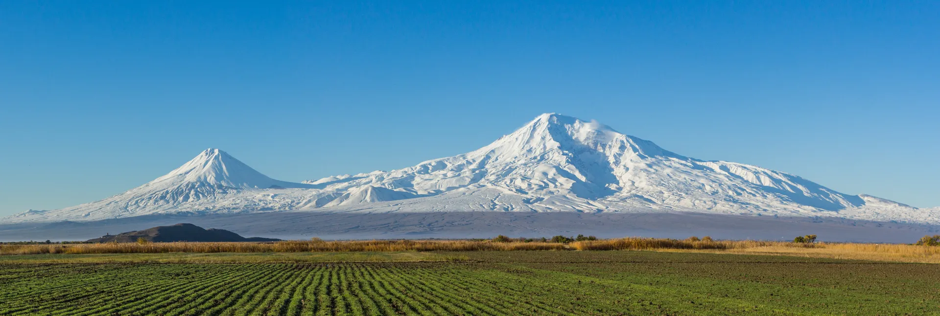
Mount Ararat with the historic Khor Virap monastery visible at center-left

Khachkars

Researcher Steven Sim used declassified commercial satellite imagery from the IKONOS and QuickBird platforms to document the disappearance of the Jugha khachkars between 2003 and 2005. His findings, published in the *Journal of Genocide Research* in 2005, provided peer-reviewed satellite documentation of the Azerbaijani state's organized demolition of the site.

Source

Researcherย Stevenย Simย usedย declassifiedย commercialย satelliteย imageryย fromย theย IKONOSย andย QuickBirdย platformsย toย documentย theย disappearanceย ofย theย Jughaย khachkarsย betweenย 2003ย andย 2005.ย Hisย findings,ย publishedย inย theย *Journalย ofย Genocideย Research*ย inย 2005,ย providedย peer-reviewedย satelliteย documentationย ofย theย Azerbaijaniย state'sย organizedย demolitionย ofย theย site.ย 

2127Khachkars